
Coronavirus lockdown had us going crazy and desperately needed to get out – this is the longest stretch of time I haven’t camped since 2015. Lindsay and I had been doing some lowly peaks along the Sea-to-Sky trying to reduce our travel and risk outdoors, but with restrictions loosened, it seemed the perfect time to do a Howe Sound paddle.
Lindsay and I have previously paddled around Anvil Island, hiking up Leading Peak, and paddled the west side of the inlet from Squamish to Porteau Cove, but I was most keen on checking out the group of islands south of Gambier and West of Bowen.
Over years of paddling, aside from guided trips, this would be the first time Lindsay and I had ever paddled with other people. We were doing the trip with our friends Miranda and Spencer, both SKGABC Kayak Guides.
Day One: Horseshoe Bay to Keats Island
Plan A was to launch from Squamish, but when one of us actually decided to check the wind conditions (SE20-25) that was changed to Plan B, launch from Dundarave and take the SE wind at our backs. Plan B came and went early Friday morning as Dundarave had breaking waves and 15+kn winds; something no one was keen on after sitting around for two months.
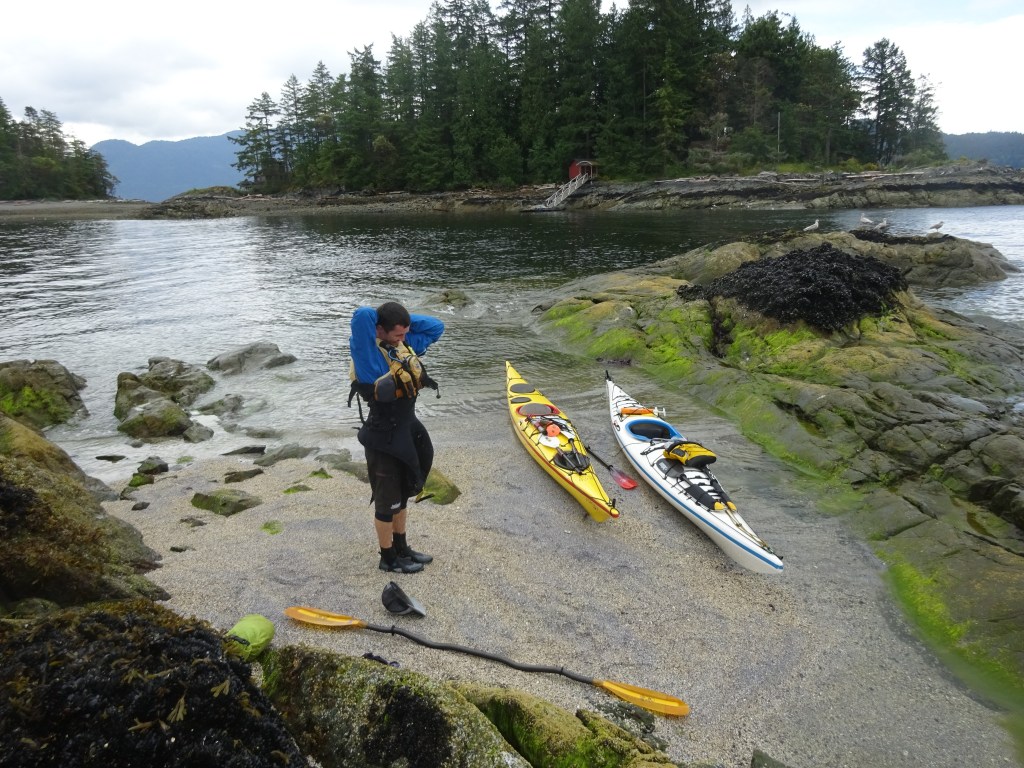
We packed up and went with Plan C: launch from Horseshoe Bay. After some car shuffling, we were on our way by 1030. We crossed easily in the calmer waters to Bowen’s east side and paddled north. We rounded the northern tip of Bowen and for some reason – despite our northward bound plan – we proceeded to paddle for a few hours south into a stiff headwind.
We meandered our way to the Pasley group of islands, stopping and walking around on a pleasant beach on the islet north of Hermit Island. This group of islands is a great switch up from the massive mountain islands that dominate the sound, and despite being all privately owned, they offer a great place to take a rest or have some lunch.

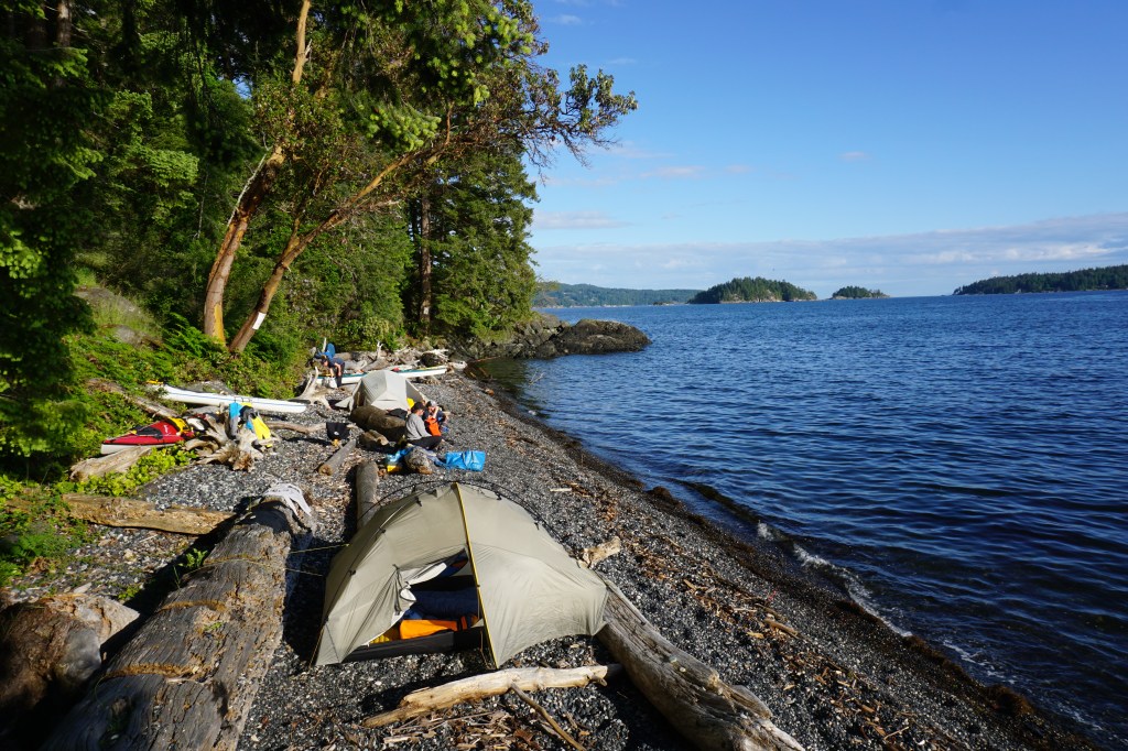
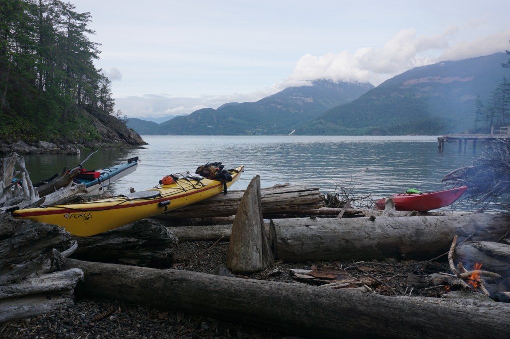
From the Pasley Islands, it was a straightforward 30 minute paddle to the south shores of Keats Island, where we found a gorgeous smooth pebble beach to enjoy the afternoon sun. We had a great evening catching up with old friends and cooking up some good kayaking food before calling it an early night.
Day Two: Keats to Zorro (40 km)
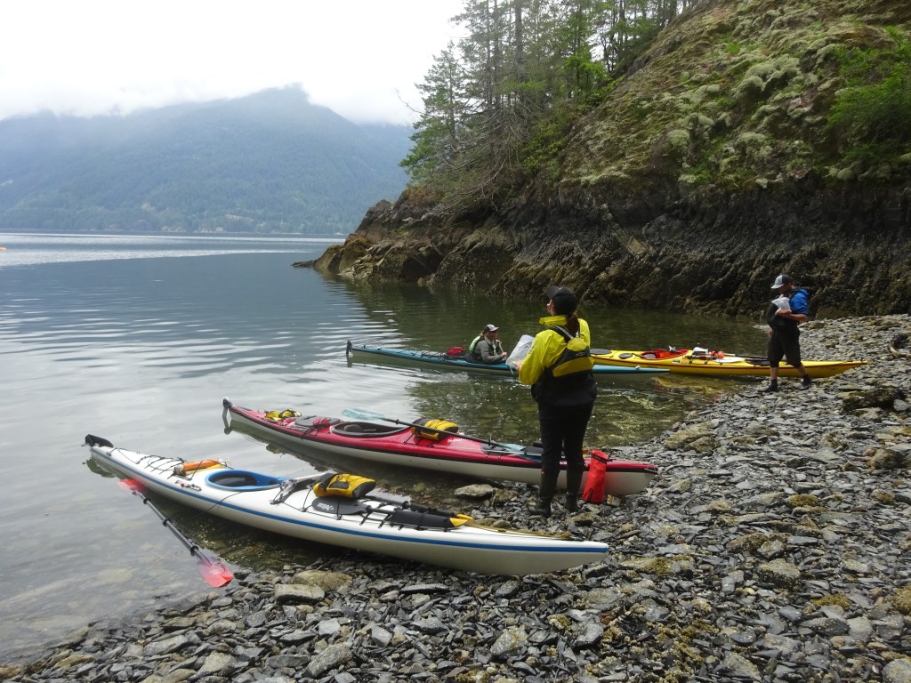
We woke to grey skies and the threat of rain. The wind was very calm over by us, but we would hear later that on the east side of Anvil it was blowing strongly. From our Keats Island campsite, we travelled south and west around Keats, passing the busy campsite at Plumper Cove Marine Park before finally turning north for the rest of the trip.
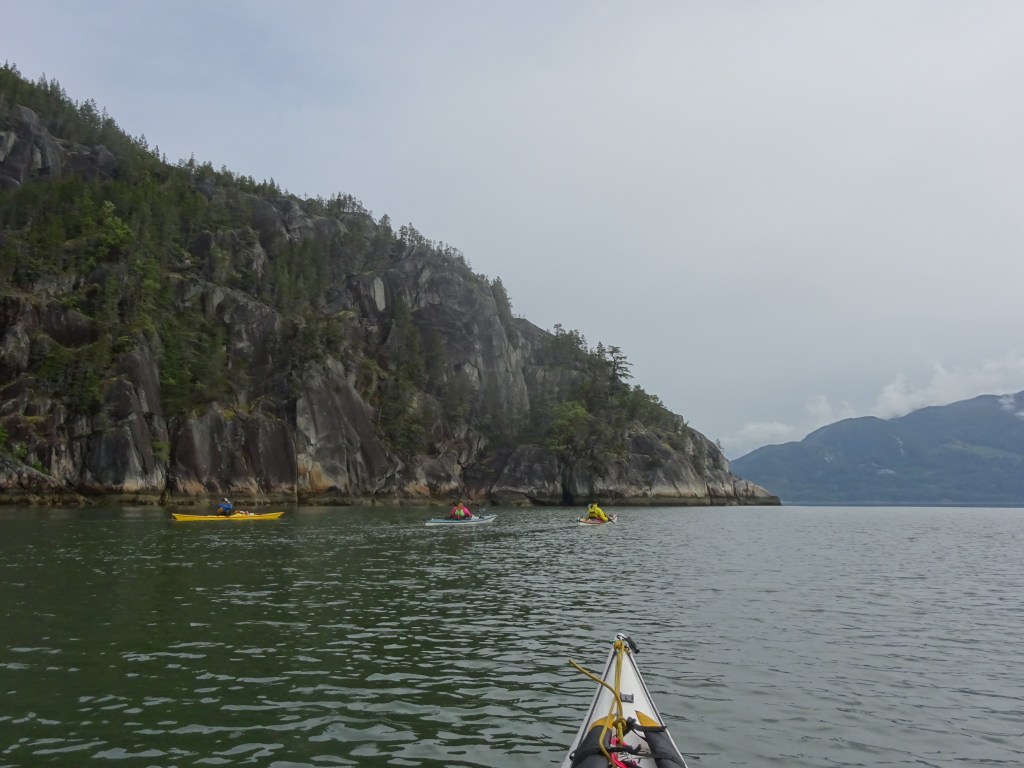
Being guides we had mapped the day out at 17 nautical miles – a reasonable day. In the end, we were all very wrong and it was 22 nautical miles. The paddle along the channels west of Gambier is secluded and beautiful, despite the extensive resource extraction.
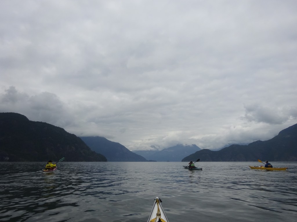
We spent the night at Zorro Bay after cruising by some of the other Howe Sound Marine Trail sites. Lindsay and I had spent the night at Zorro before, and although the dock and development can be a little decrepit looking, the location and campsites are well worth spending the night. The clouds even cleared enough for views of Garibaldi.
Day Three: Zorro to Squamish (15ish km)
On the third day we launched on calm waters despite the third straight day of forecasts of SE 20-25kn. We paddled the remaining 15km to Squamish tight against the shoreline, scoping out all the sport climbing routes that have been put up. Someone has been busy!
The polished granite is gorgeous as you paddle the final kilometers into Squamish, and even in the clouds, the views of The Chief and Shannon Falls are breath-taking.

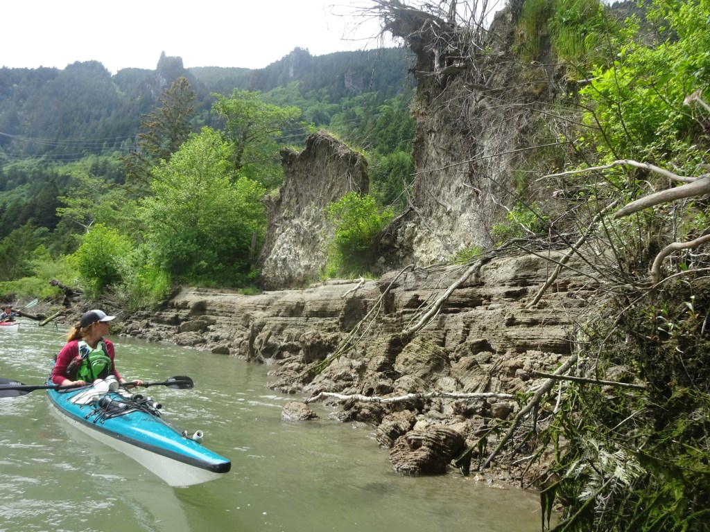
We shot through the eddy-line of the Squamish River and battled a few kilometers upriver to a take out halfway down the Spit Road. The estuary and Squamish River Delta were a great way to end a great trip with a bit of diversity in the scenery.

We still need to paddle the East Side of the Sound (to find some pictographs) and bag some more island peaks!
