This trip report details climbing Mount Addenbroke, which we approached by kayak. To read about the kayaking part of the trip, click here.
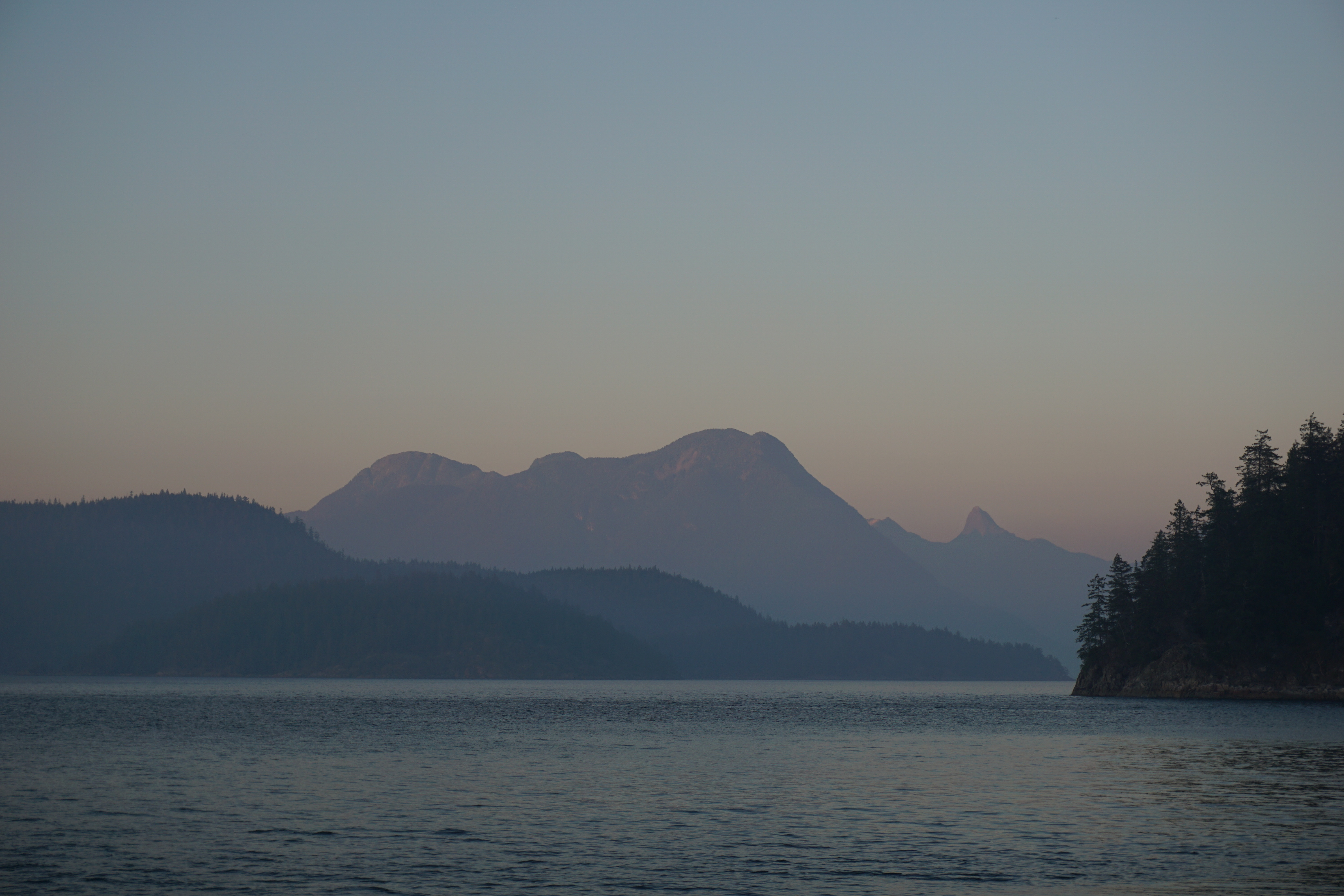
Mount Addenbroke (1,591m) is an extremely prominent mountain tucked away in the Discovery Island region of British Columbia’s Inside Passage on East Redonda Island. Almost the entirety of the mountain and most of the eastern half of the island are protected as the East Redonda Ecological Reserve.
It is one of the highest island peaks in British Columbia and one of the highest island peaks in the world based on circumference of the island.
“Addenbroke was long thought to be the highest mountain in BC not on the mainland or on Vancouer Island, but an unnamed peak on King Island [near Bella Coola] is now known to be 1,679m high.” – The Encyclopedia of Raincoast Place Names.
Needless to say, it is quite steep – rising over 1,500m in less than 3 km – and offers commanding views over the surrounding country.
After spending three summers exploring and working in the Discovery Islands, I was super keen to climb Addenbroke. It is visible from most of the islands and all the peaks in the area, and is clearly visible from Campbell River. Despite this, there is no information on the Internet I could find concerning hiking or climbing on Mount Addenbroke. The only information I could find was in the old Fairley climbing guide to SW BC, as usual Fairley underplayed the severity:
“From Pendrell Sound, climb overgrown logging roads to 950m. Ascend the valley here through timber, skirting the base of the cliffs to the col about 1 km NE of Addenbroke. From the col scramble up the ridge to the pleasant summit plateau. Picnic lunch recommended.”
Lindsay and I were looking forward to a bit of an adventurous hike. We would not be disappointed!
Day One: The Road
Travelling time: 2.75 hours [4PM to 645PM]
From “research” I had done on the peak over the past couple of seasons, Lindsay and I determined that it would be best to follow the route presented in the Fairley guide and approach from the north-east; from Pendrell Sound. An old logging road system apparently reached 900m, from where we could begin our bushwhack. This road system is quite old, but is still somewhat evident on the satellite. It is, however, absent from most of the newer government maps. Based on the satellite and topography it seemed obvious where the road would come down to Pendrell and we were lucky to have a copy of a map that contained evidence of the old road system.
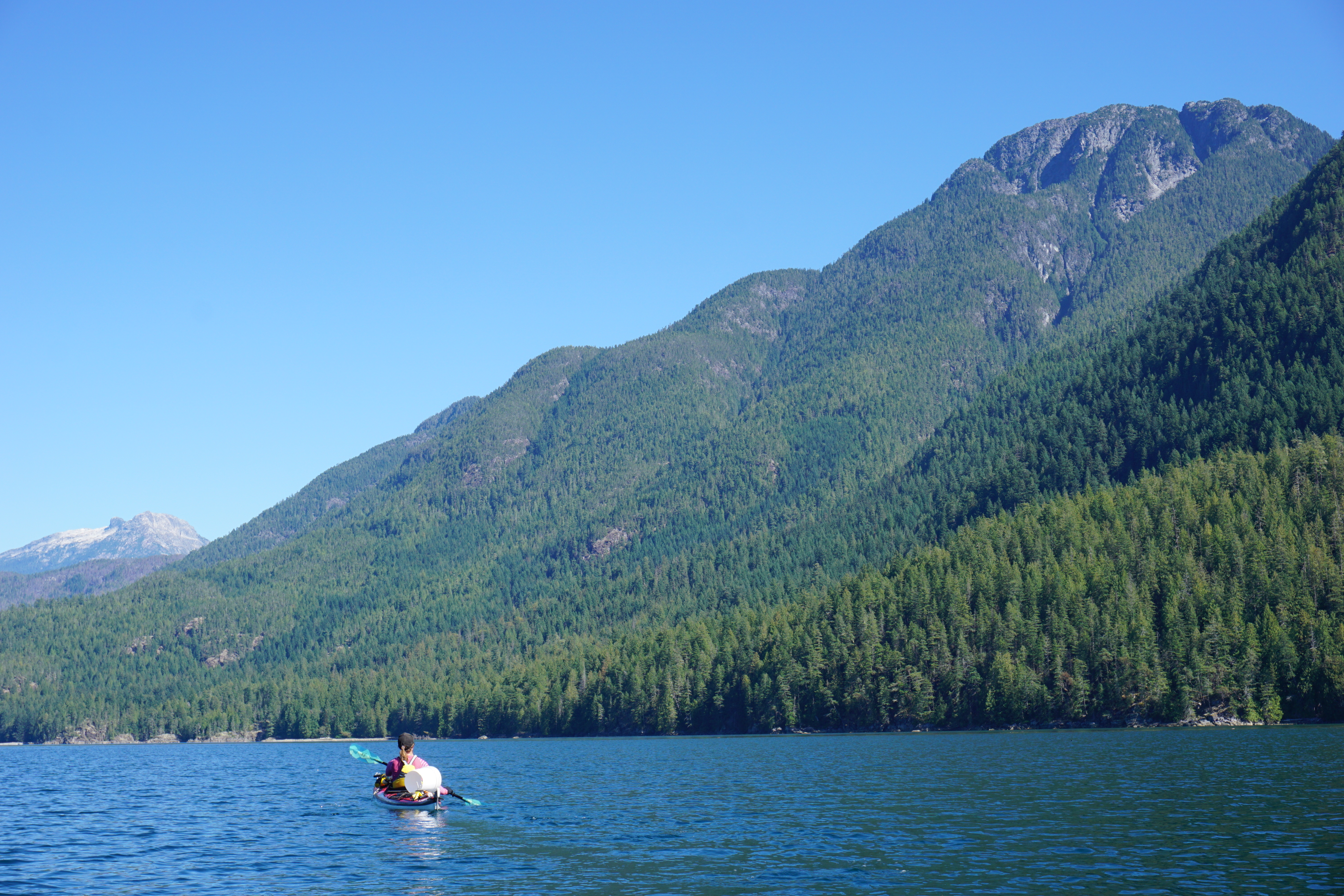
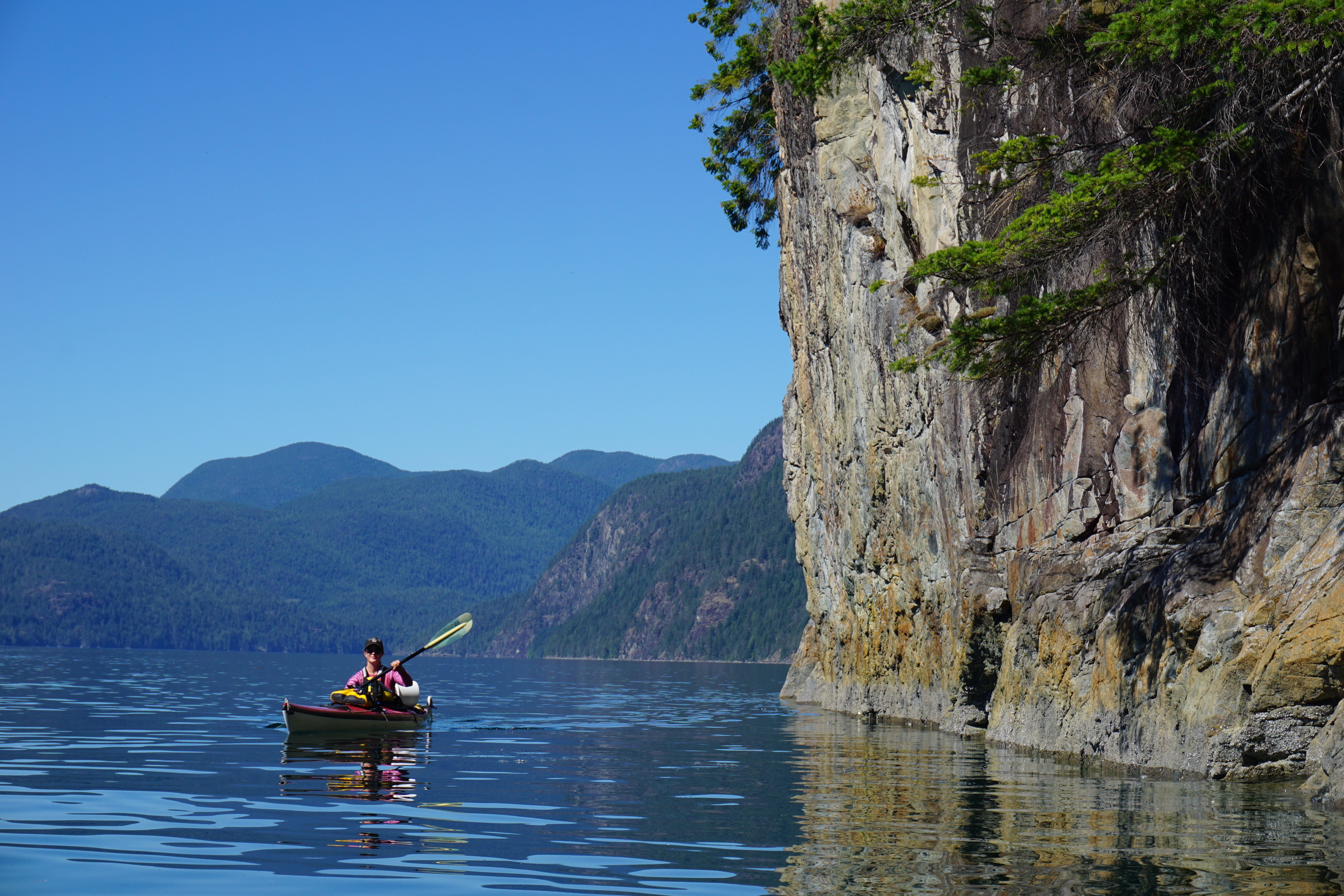
We left our camp at Gorges Islands in Walsh Cove at the north end of Waddington Channel quite late in the day – around 11AM. We were feeling lazy after a 40km paddle the previous day in the sun. A few hours of paddling down the stunning cliffs of East Addenbroke brought us to the entrance of Pendrell Sound. The water was stunningly warm and we were enjoying some of the best weather of the summer – a massive high-pressure system sat right above us and there was not a cloud in the sky – it was hot!
We crossed the entrance of Pendrell Sound and began to follow the shoreline of Mount Addenbroke. About halfway up the east side of Pendrell Sound, the shoreline turns to the east and opens into a broad bay. In the middle of this bay is the beginning of the logging road system. The road was overgrown in the 1980s when Fairley wrote his guide, so it must be nearing 50-60 years. In my experience when confronted with terrible second growth, very old logging roads can save lots of time and hardship.
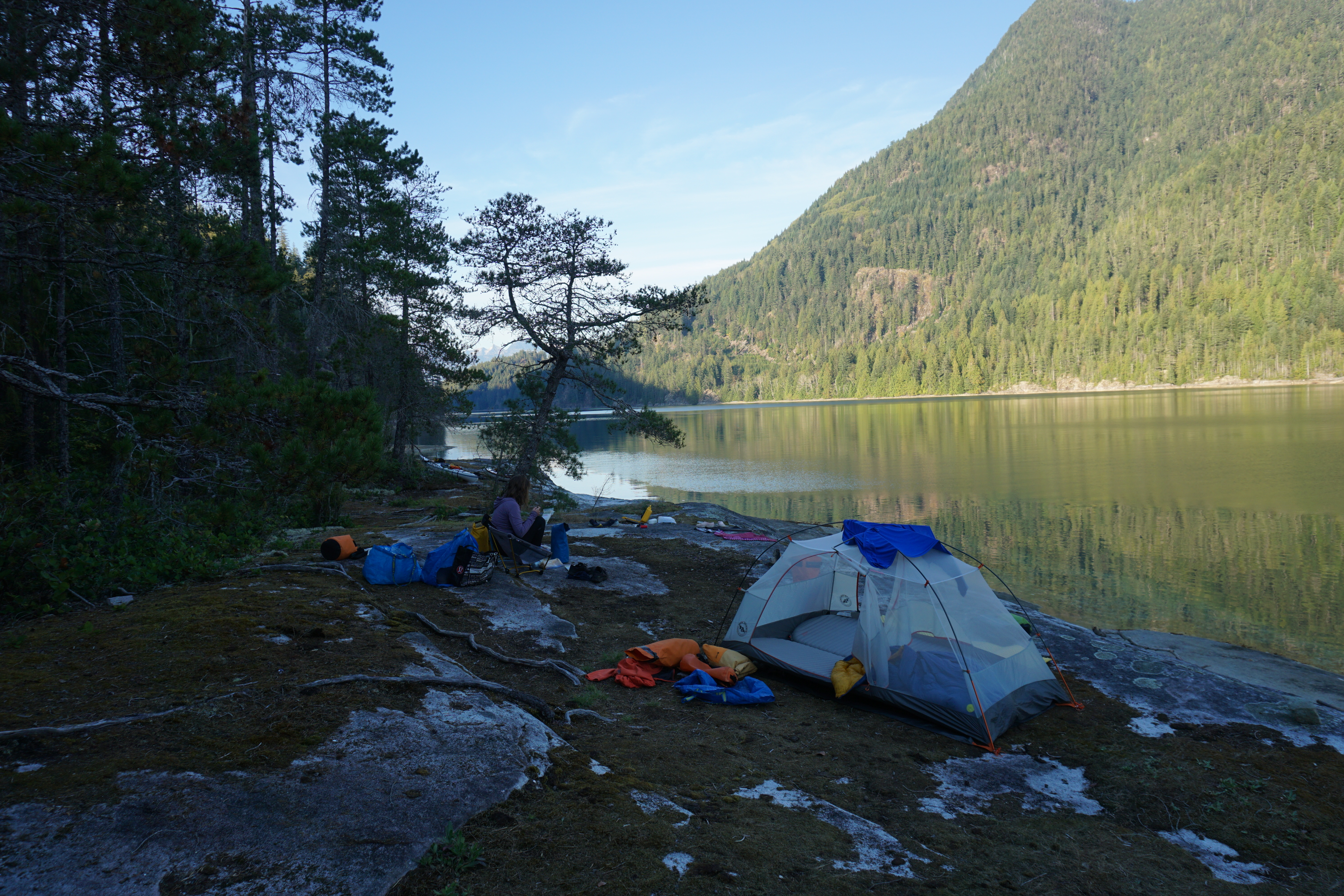
Lindsay and I unloaded the boats, ate some food, repacked our bags, hung the rest of the food, and secured our boats. The old, overgrown landing at the log dump provided a great, flat place to camp the following night.
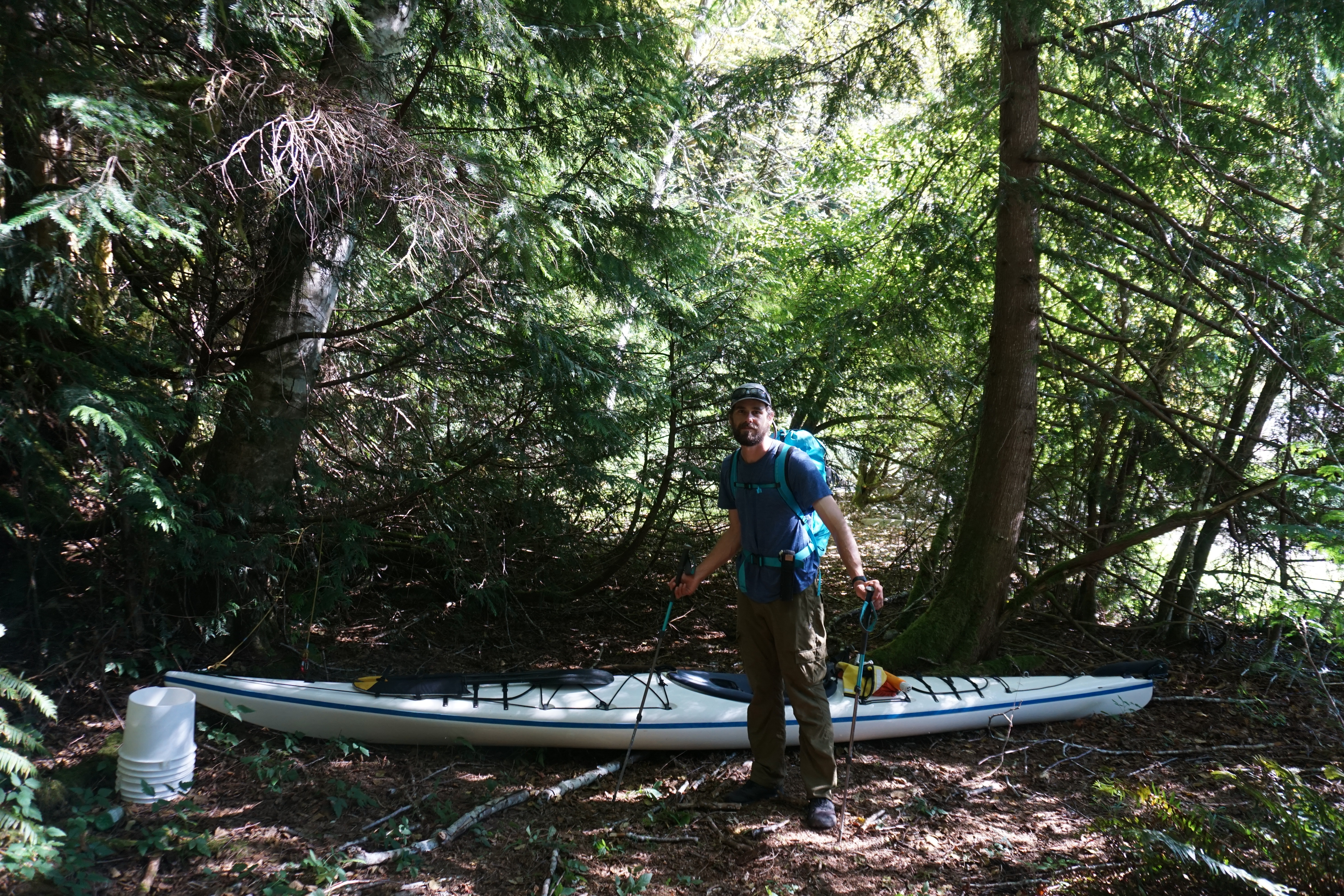
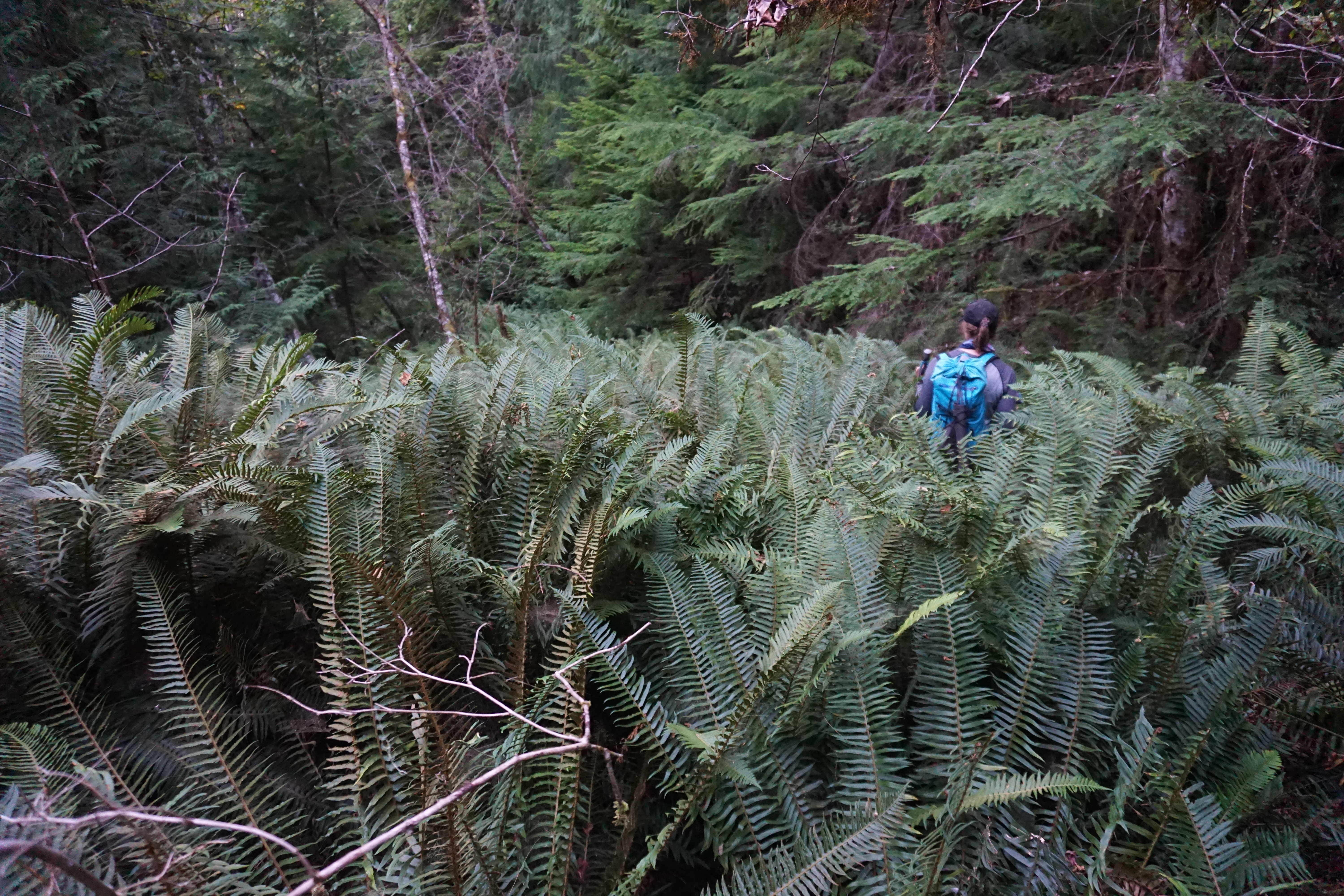
We left the boats at 4PM, heading up the very overgrown logging road. The first 20 min of walking we battled shoulder-high sword ferns and plenty of windfall, but eventually the old road gave way to large alders and maples and the ground cover was heavily foraged by deer. We easily weaved our way up the road.
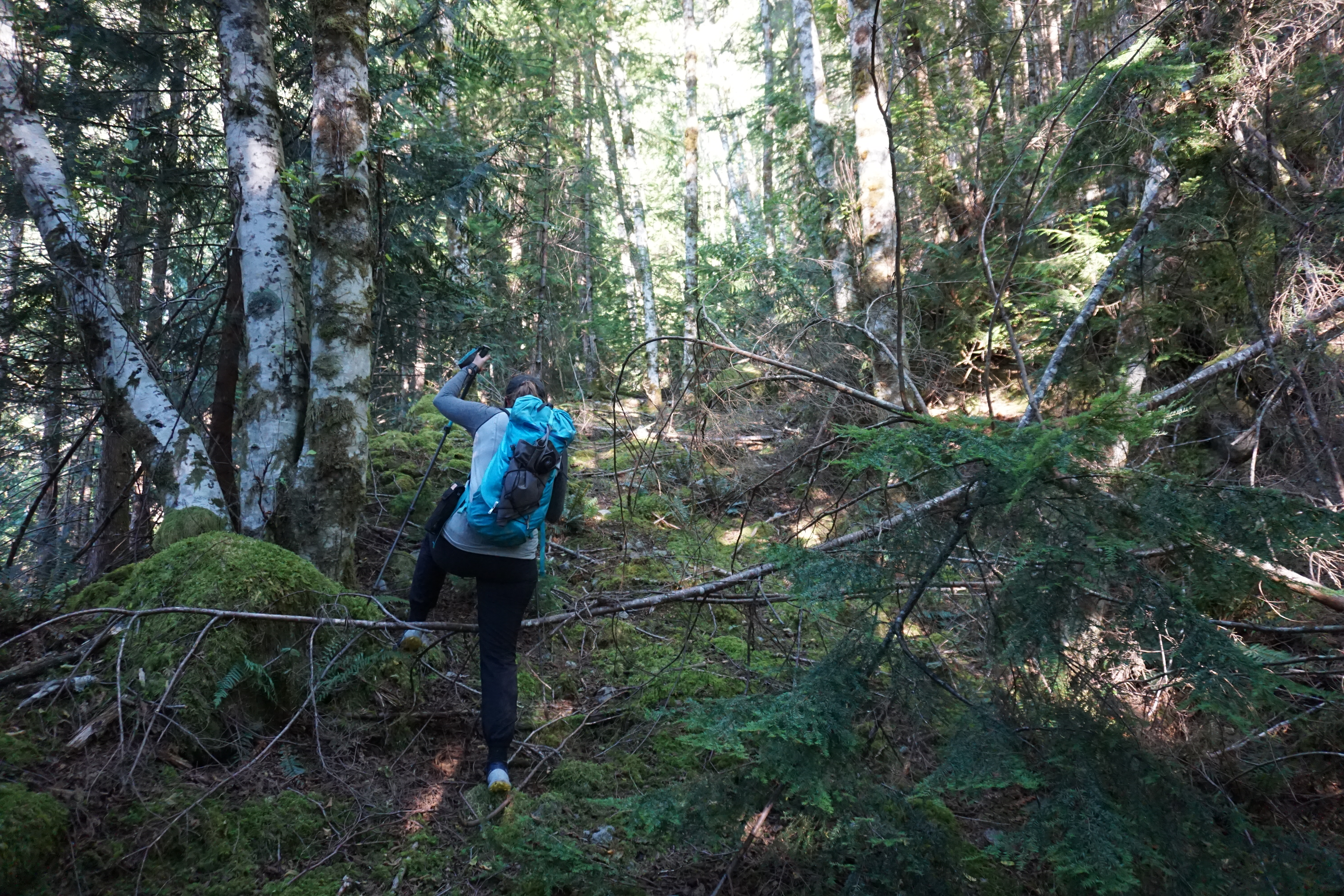
At about 400m, the road crosses a major drainage for the first time. We got confused here as the road rapidly deteriorated before the drainage. We backtracked and took a second road, which ended abruptly in a dead end. Going back up the original road, we followed it to a massive washout, where no sign of any road existed. Bashing our way across the drainage, we were lucky to pick up the road once more!
We followed the road until it switched-back, and at 650 m ended abruptly at the same drainage. It was 630. We spent a solid 20 min searching for the road on the far side in vain, and ended up building a bed at the end of the road as the sun was setting. We hadn’t packed sleeping pads, and hemlock, ferns, and moss made up our sleeping arrangements.
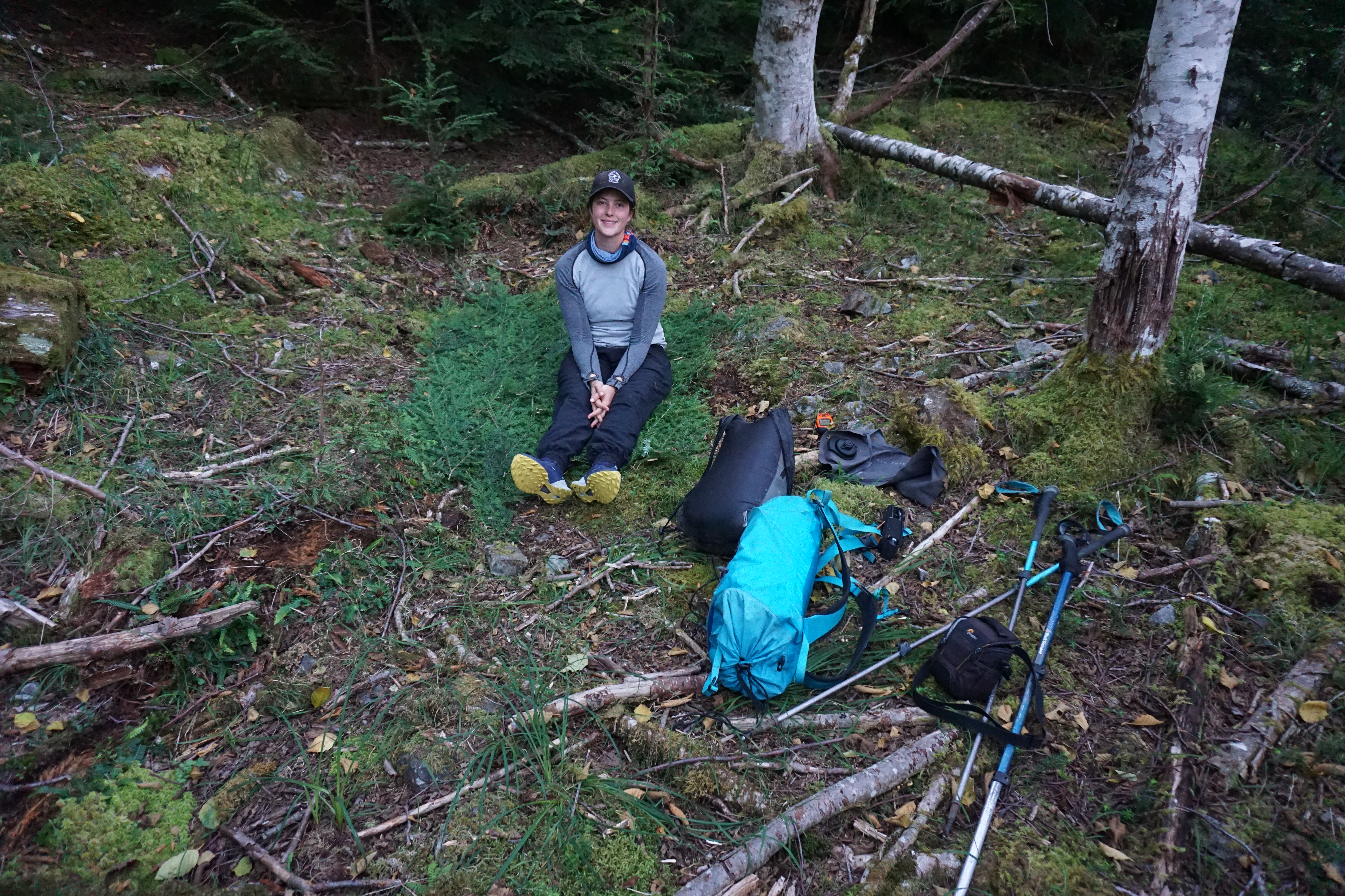
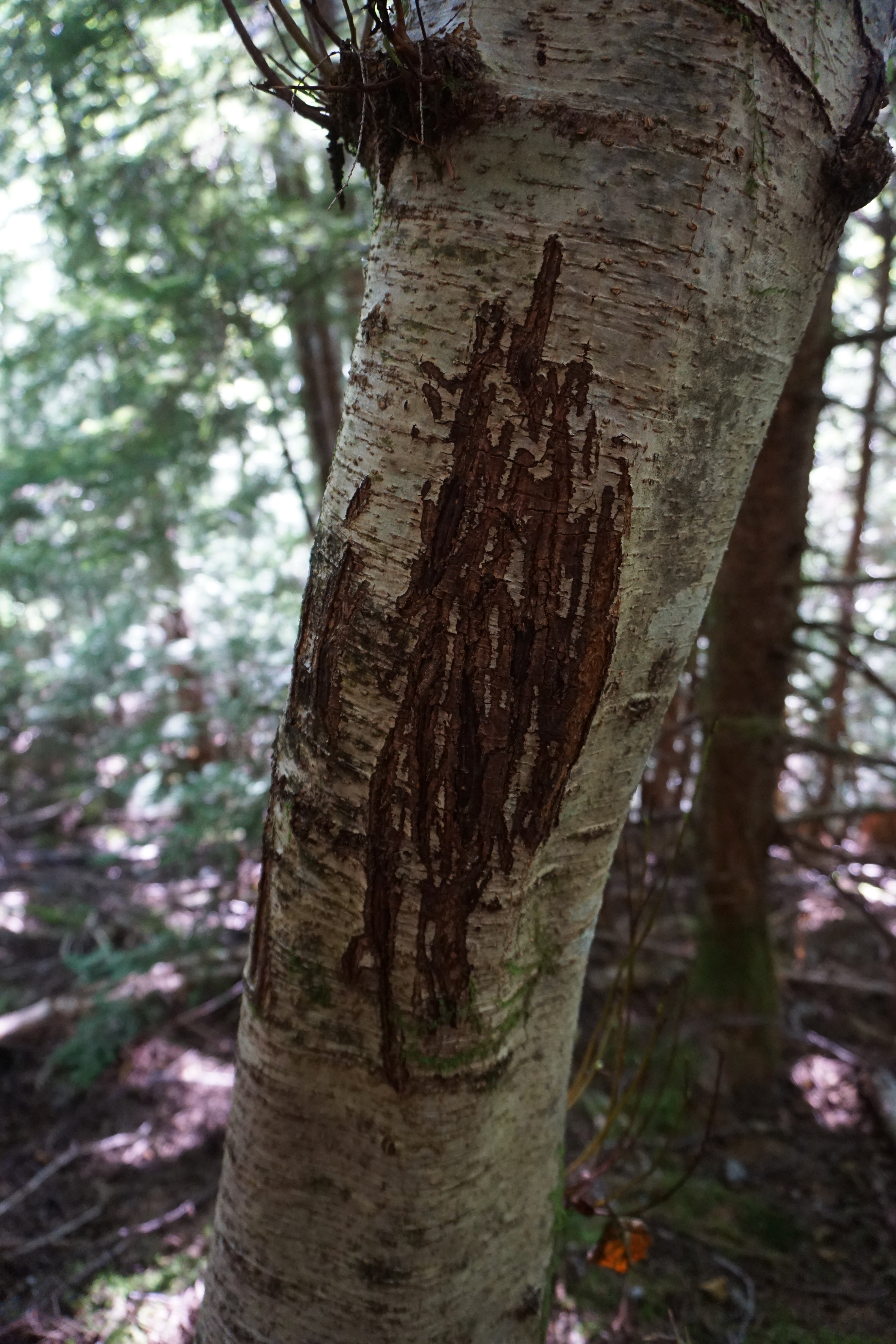
We boiled up a quick dehydrated meal of risotto and had some hot chocolate. As we fell asleep, we noticed that the cougar or bear markings we had seen on all the alders along the road seemed to pass right by our heads. The night was clear and warm though, and sleep came relatively easy.
Day Two: The Summit
Travelling time: 12 hours [730AM to 730PM]
We were packed and moving by 730AM, electing to just take everything with us. We were travelling with a miniature summit-style pack and the 30L Arc’teryx Alpha pack. Most of the weight at this point was water.
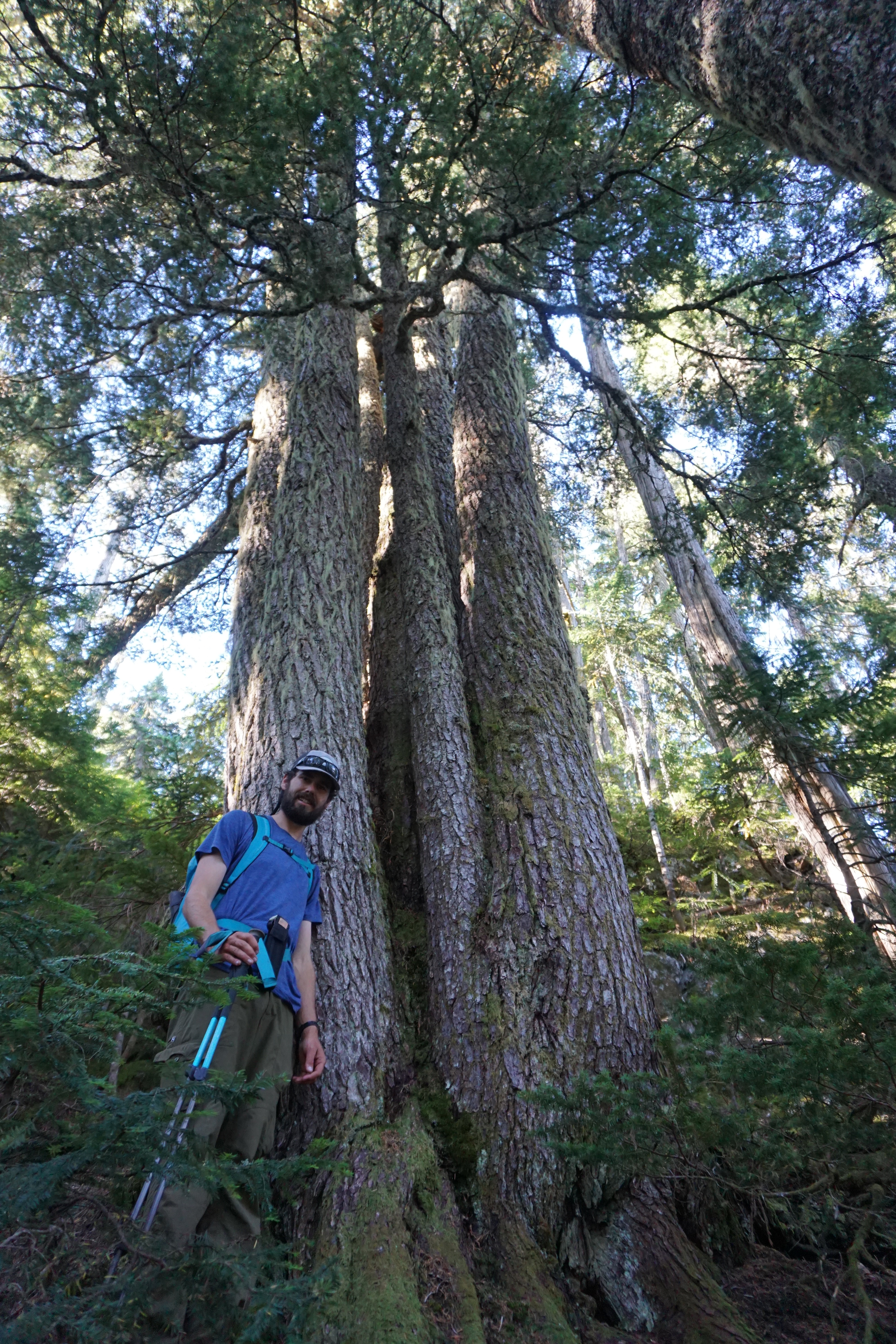
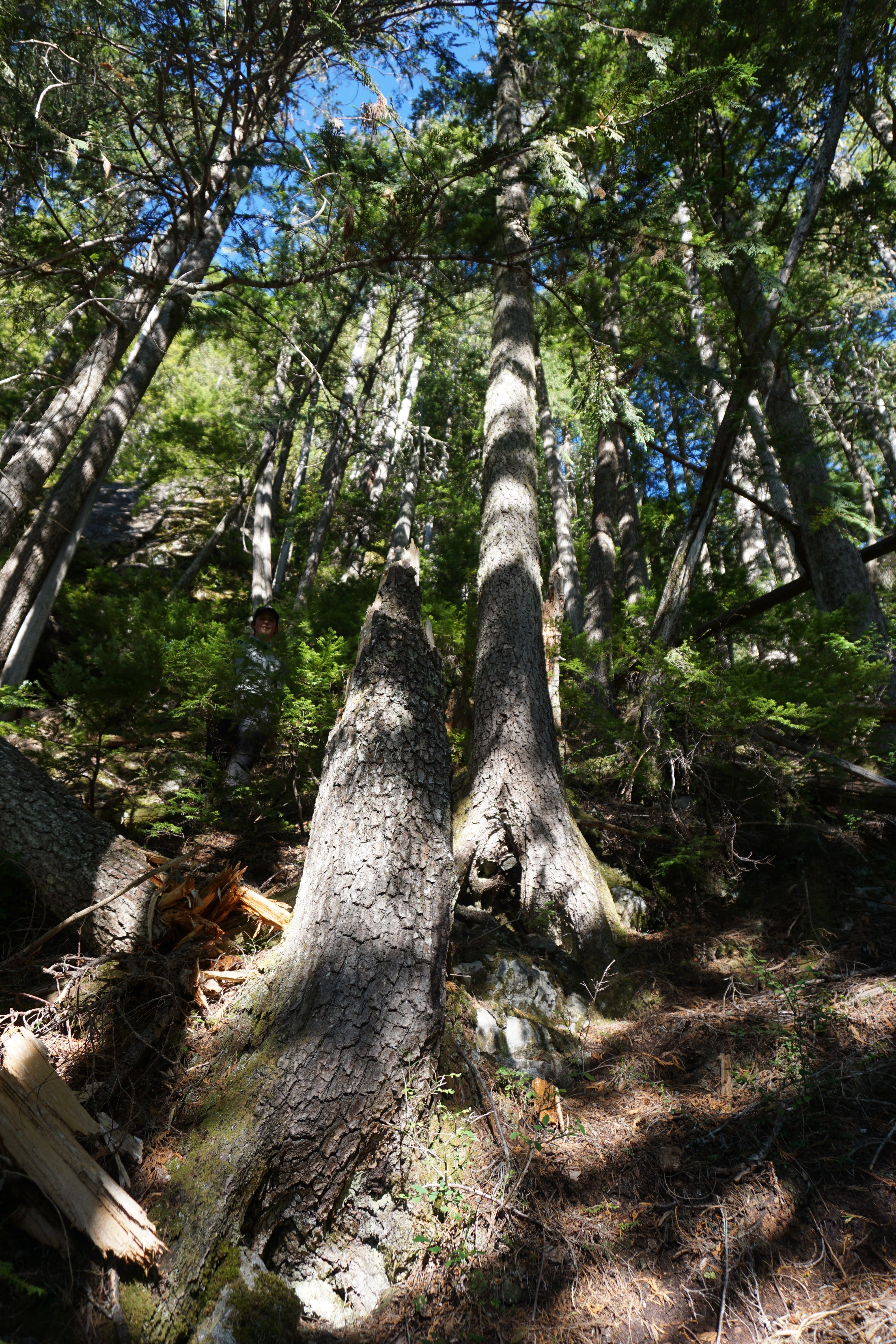
From our camp, we headed directly up to the ridge. The terrain was incredibly steep second growth forest – very slippery needles coated the floor. We made great time, and at 9AM reached a band of cliffs protecting old-growth forest. It would take us 40 min to navigate this cliff band, finding a very fortunate log, which we used to climb through the cliffs.
[I think with more time we could have moved climbers left and bypassed the cliffs. The route through the valley, Fairley suggested looked difficult, and we never found the end of the road at 950m.]
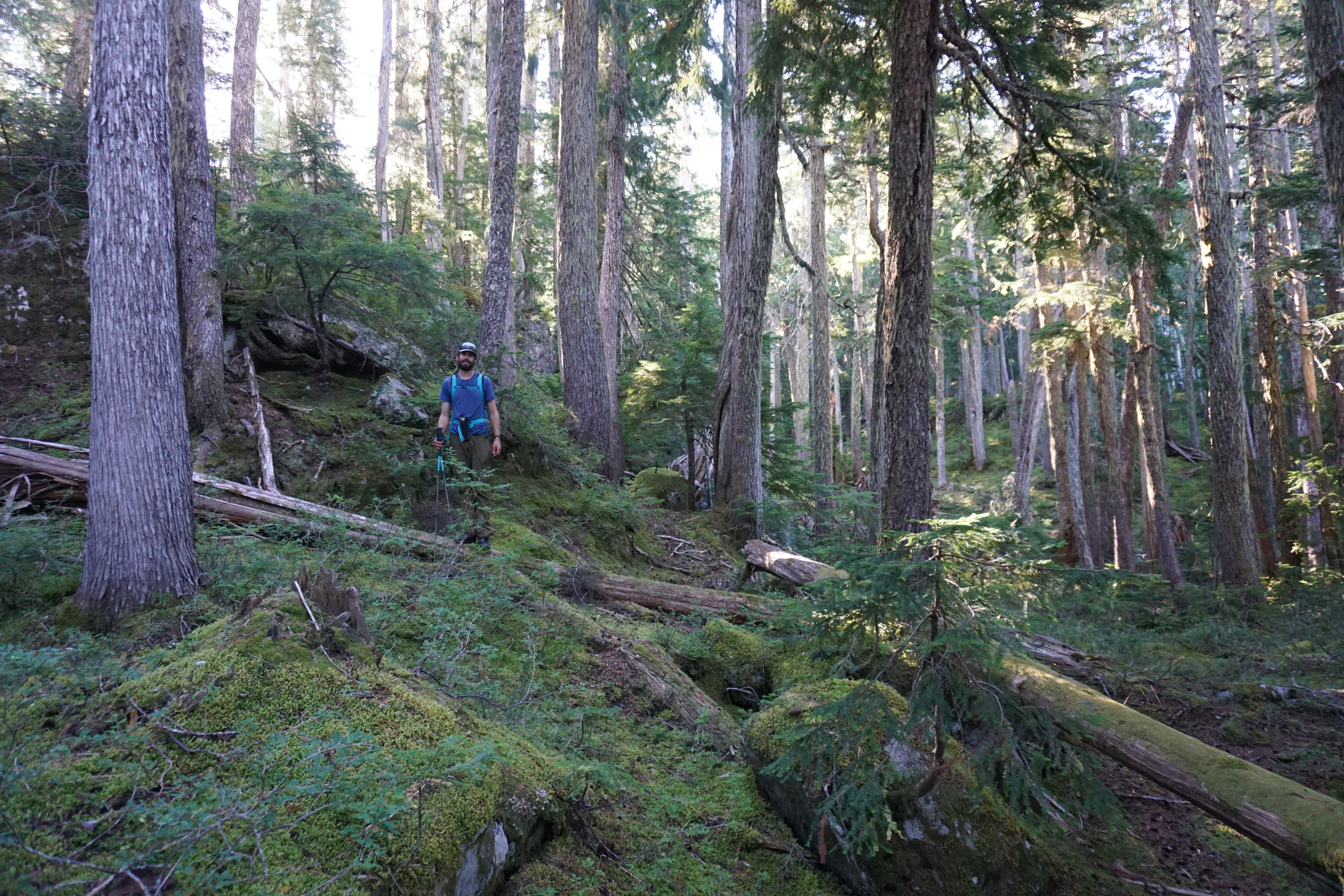
Above the cliffs was a different world – a contrast that, unfortunately, must be experienced to be truly understood. Old-growth temperate rainforest giving way to subalpine ecosystems; up until this point it had seemed to Lindsay and I that the ecological reserve simply preserved dense second growth forest, but this area of the mountain was very special. Travel was also significantly easier.
The steep terrain had changed to rolling subalpine rocky knolls. At this point we could see the massive north face of Addenbroke, still holding snow even after our hot, dry summer. We had come up at a great point in the ridge and only had to navigate two sub-summits – one small, one large – before the true summit.
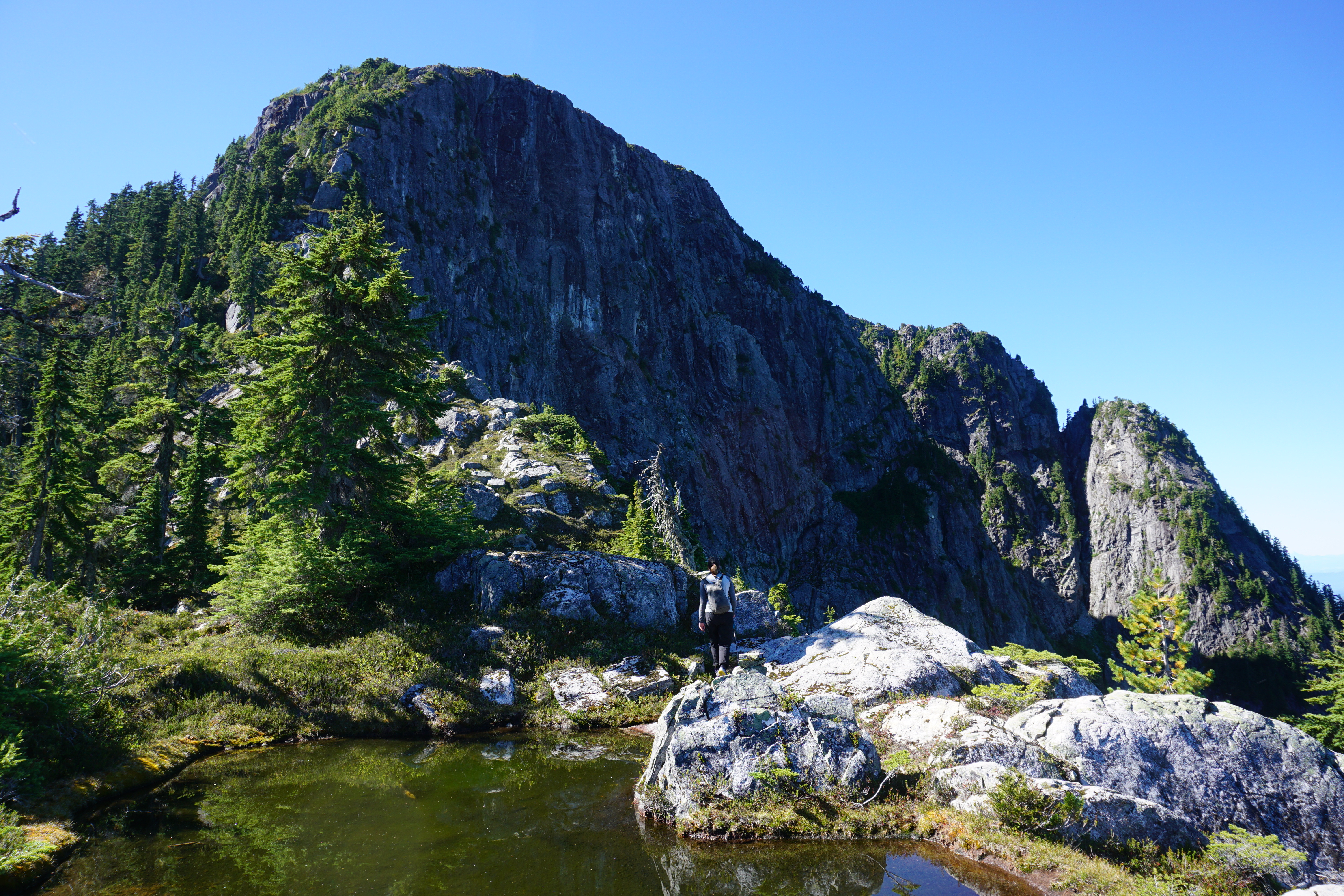
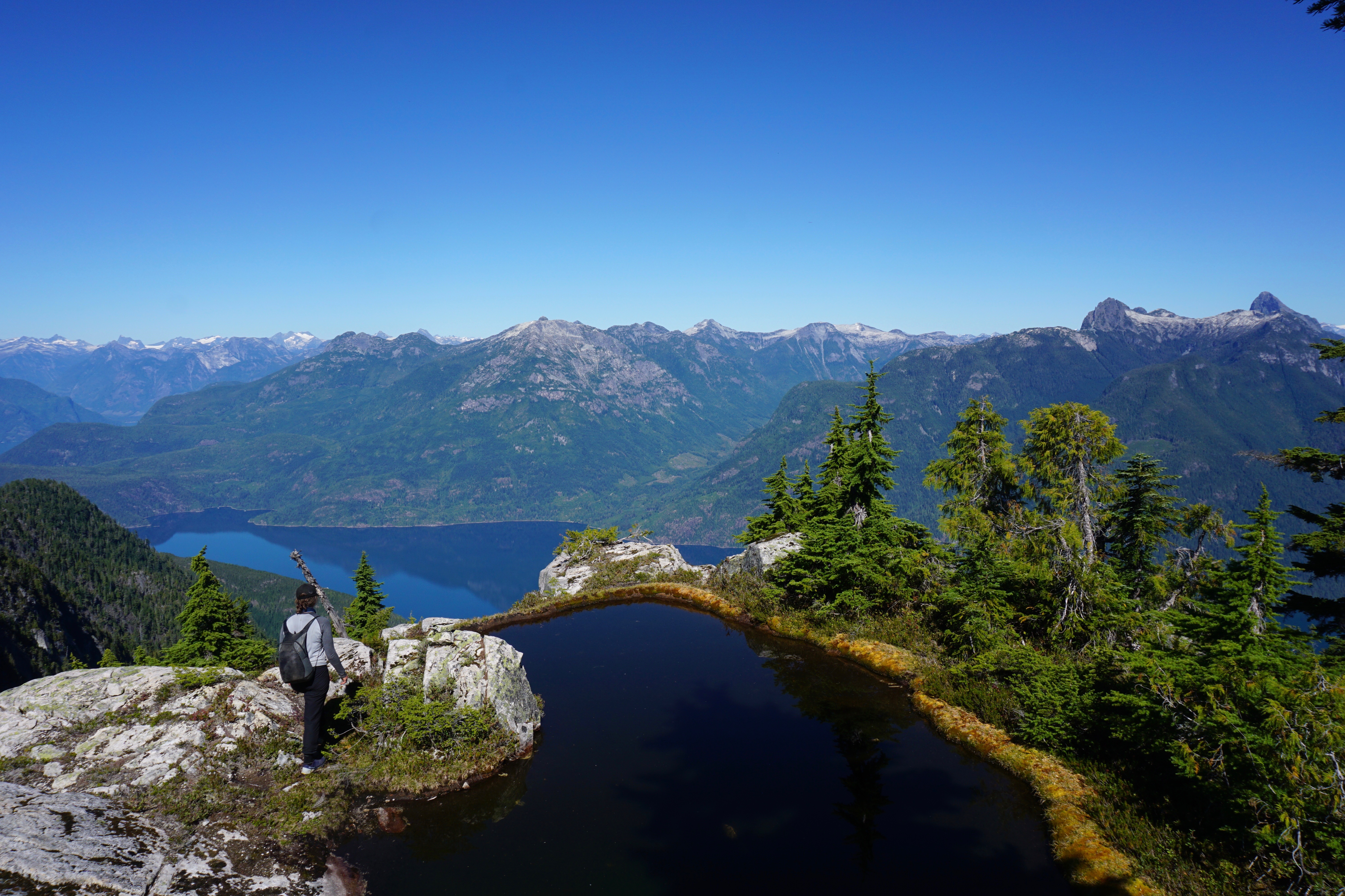
As we hiked the views increased and the terrain continued to allow easy travel. At the first col between the two bumps on the ridge, we encountered some exposed terrain, but nothing that was not easy to navigate. The second bump on the hill was also easily navigated, and featured the first of a series of gorgeous tarns.
The final section of the ridge to the summit plateau finally gave us pause. I never know how to class things – I would put it in the “I would have enjoyed a rope” category – but it is quite subjective. Wet conditions would have done us in, or a lack of blueberries to pull on. Either way, we found a way up to the summit plateau snacking on blueberries all the while and in the end it wasn’t too bad.
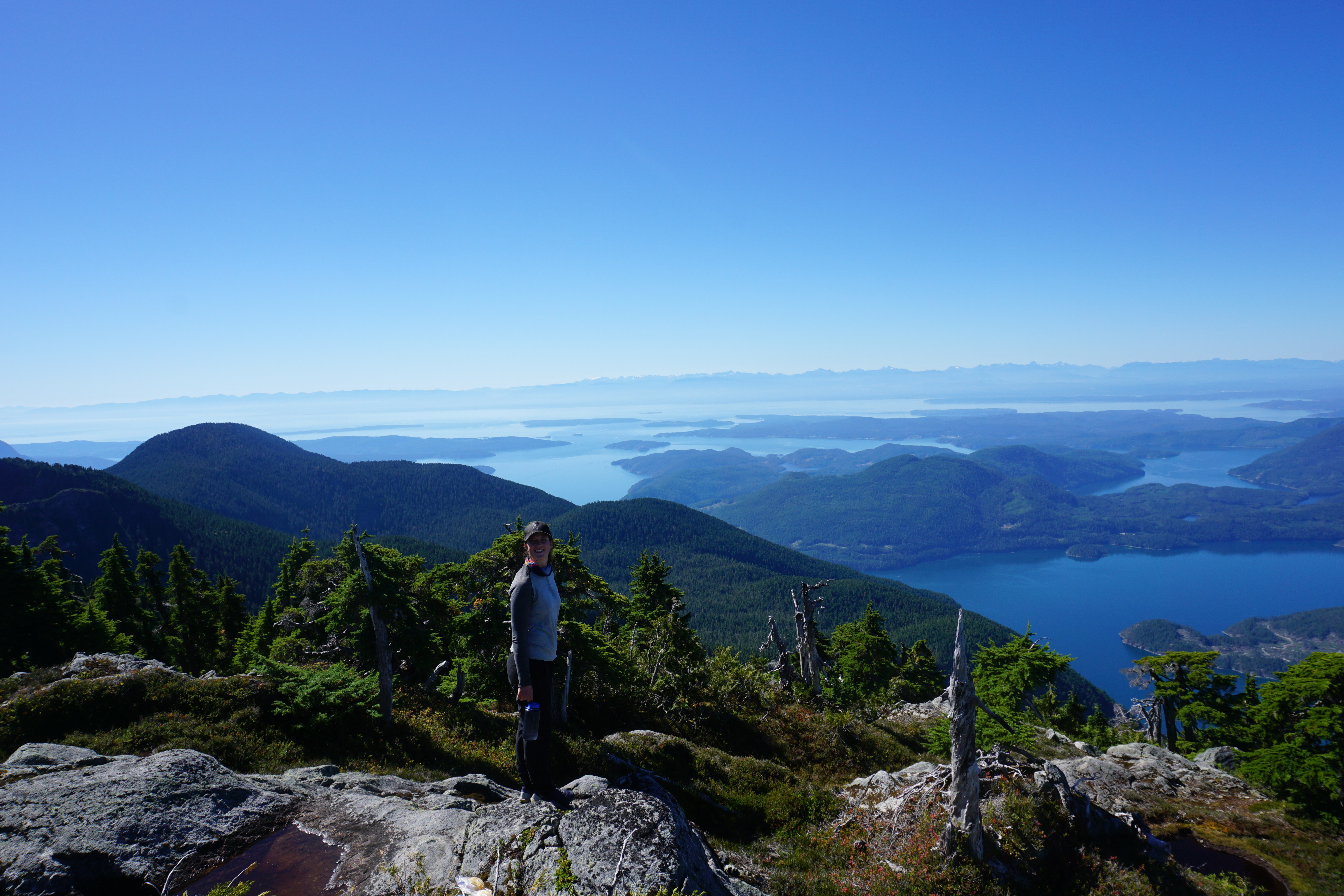
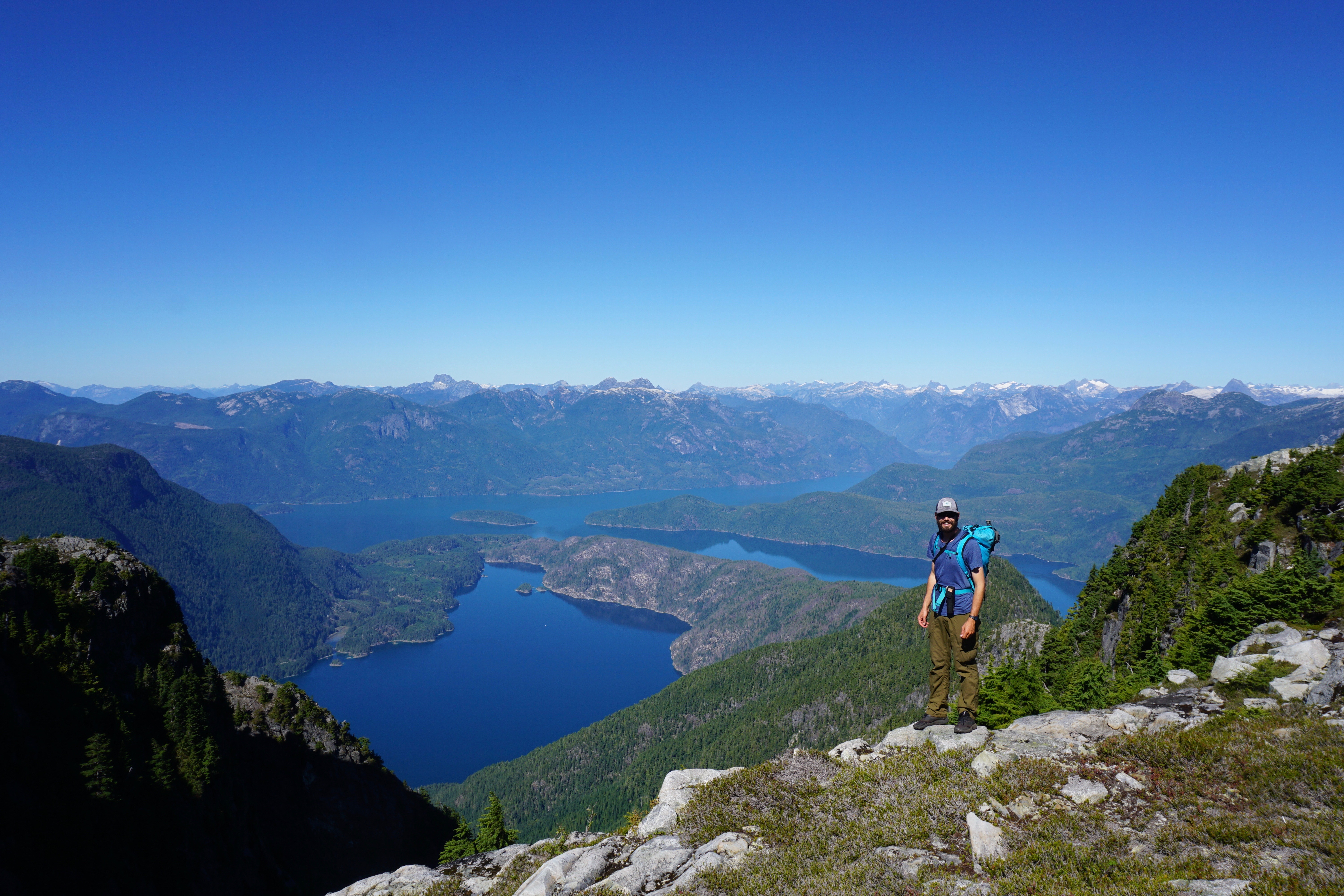
The broad plateau is one of the most gorgeous places I have been in the Coast Mountains. Views from the southern Gulf Islands to the Broughtons reached out in front of us, while behind, the big peaks of Toba Inlet, Desolation Sound, and Powell River stretched out forever. We were lucky to have such incredibly clear skies – in 40 hours, the smoke from California would reach BC.
A massive cairn greeted us on the summit, but no register – we were hoping to read about the easy picnic lunches Fairley mentioned! It had taken us almost exactly 5 hours to reach the summit from our camp.
We lingered, naked, on the summit for nearly an hour, swimming in tarns and staring off into the distant mountains. The beauty was hard to leave and we considered sleeping on the summit, but the day was early and we had other beautiful places to be in the next couple of days.
After feasting on some cheese, meat, and crackers, we began heading back down the ridge with great views of Toba Inlet and Pendrell Sound before us.
We managed to find an easier route further to skiers right descending the first section of the ridge to the final tarn. From there, the ridge was straight forward, with the crux being the intense sun. We were both feeling the elevation at this point, having climbed nothing higher than peaks on Read Island all summer (about 500m!).
With the help of the GPS, we managed to find our savior log again and down climb through the cliffs. Travel from here got difficult though – very steep terrain covered in slippery conifer needles. We took nearly the same amount of time to descend this section, but eventually we popped out on the road at our campsite. It was 530 and had taken us 4 hours from the summit.
It was already starting to get dark, so we blasted off down the road in hopes of setting camp and eating before dark. What had taken us 2.5 hours uphill (with some detours) took us 1.5 hours to descend, but it was still nearly headlamp time when we reached our boats.
We both jumped in the water, but it was so warm that it was barely refreshing! From there it was a mad scramble to set up camp and cook some food. A copious amount of chocolate was eaten before lounging out for a well deserved sleep.
Addenbroke was a great adventure in an amazing part of the province. It offers a glimpse into the heart of the Coast Mountains and an amazing view of some of the inlets, passage-ways, and islands that make up the Discovery Islands. It should be a classic trip from Lund: kayaking Desolation Sound and then going for a wee hike.
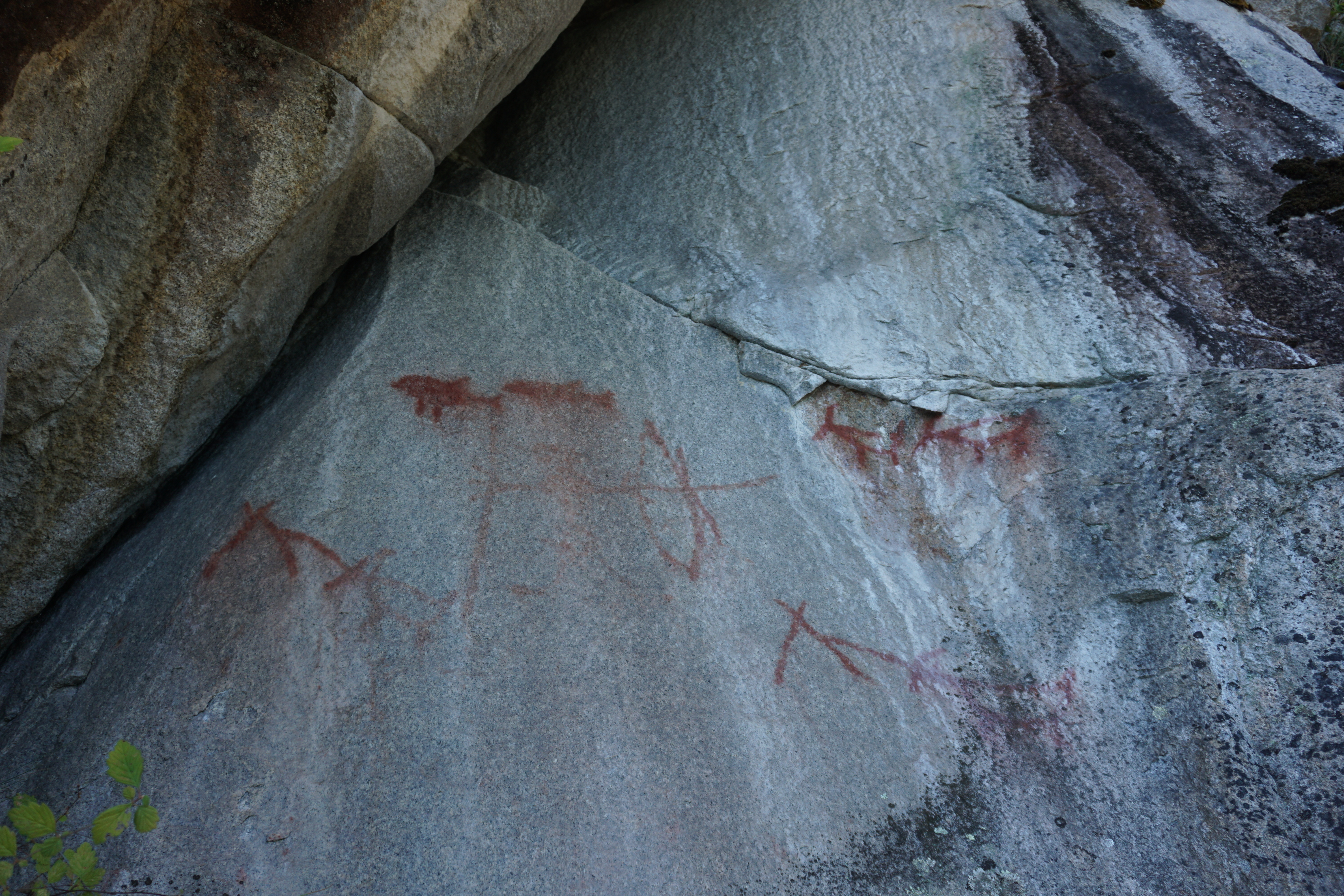
Its funny that Denman remains a classic yet Addenbroke appears to have no visitors, aside from a few small pieces of red yarn occasionally found marking the logging road route. If you have a boat or a kayak, go give it a try – you are sure to have a great wilderness adventure! Take note: A rope might be nice to rappel the cliff band in the forest or up higher on the ridge close to the summit.

Really nice post with some really nice photos!
Thanks for sharing.
LikeLike
Thanks! Very cool site you have put together. Had plans to kayak in Greece before COVID derailed our lives. Stay safe, cheers!
LikeLike
Thank you for your kind reply Antony. As you said, covid derailed our lives but I hope one day you will be able to enjoy kayaking in Greece.
Should you need any info about the mountains, trails, mountain refuges etc. feel free to get in touch.
LikeLike
Reblogged this on Walks in Your Backyard and commented:
Desolation Sound Hike on East Rhonda Island
LikeLike
Good for you guys. Thanks for the trip report. I have always wanted to go up Addenbroke. Not surprised it was a bit of an adventure! John Clarke took his sister and some of her girlfriends up Mt Addenbroke in the early 1980s. They camped on top for a few (?) days. John got some gorgeous photos. Back then there were no trip reports anywhere so their trip was never written up.
LikeLike
Thanks for the comment John. Addenbroke was gorgeous and we seriously considered spending a few nights as well! We are enjoying combining kayaking with getting up some of these big coastal peaks. Estero and Van der Est are some we are looking at for this spring – will make sure to write a report if we make it!
LikeLike
Really insanely incredible work, I’ve always wanted to explore these islands and this place seems like a fantastic destination to hit
LikeLike
Hi Anthony and Lindsay, thanks for posting this trip report, it was a great read and provided awesome beta!
Myself and a group of friends are planning on attempting Addenbroke this spring, and I was wondering if either of you happened to record your track and have a GPX to share, or just any other beta you think may be worth mentioning to interested parties.
If so, and you don’t mind sharing, my email is tmbarker9@gmail.com. Thanks again!
LikeLike
My friends and I ended up climbing Addenbroke, taking a very similar route to you; thanks again for sharing this (and answering my above questions over email). This was a really great hike and well worth the effort. For anyone else inspired by this post, like we were, there’s now a couple tracks on Peakbagger which may help answer some route questions.
LikeLiked by 1 person