This started as an attempt at the main summit of Mamquam Mountain, but due to time and route-finding difficulties, we ended up summitting Delusion Peak via the airy NW ridge.

We used the newly constructed bridge over Darling Creek courtesy of the BCMC before it was decommissioned, to access the flagged route to Darling Lake.
The lake is gorgeous and Lindsay and I would end up going back later in the summer to explore more. We decided to take the standard route to Mamquam, following the drainage to the Upper Lake.
At the Upper Lake we made our first mistake – we decided we could cut off part of the route and sneak through the icefall, which looked simple from below. We ended up eating up time and energy snaking our way through crevasses. By the time we were out, we had decided it was too late in the day to attempt the main summit of Mamquam.


We decided instead to attempt to summit Delusion Peak and take an alternate route back to Darling Lake.
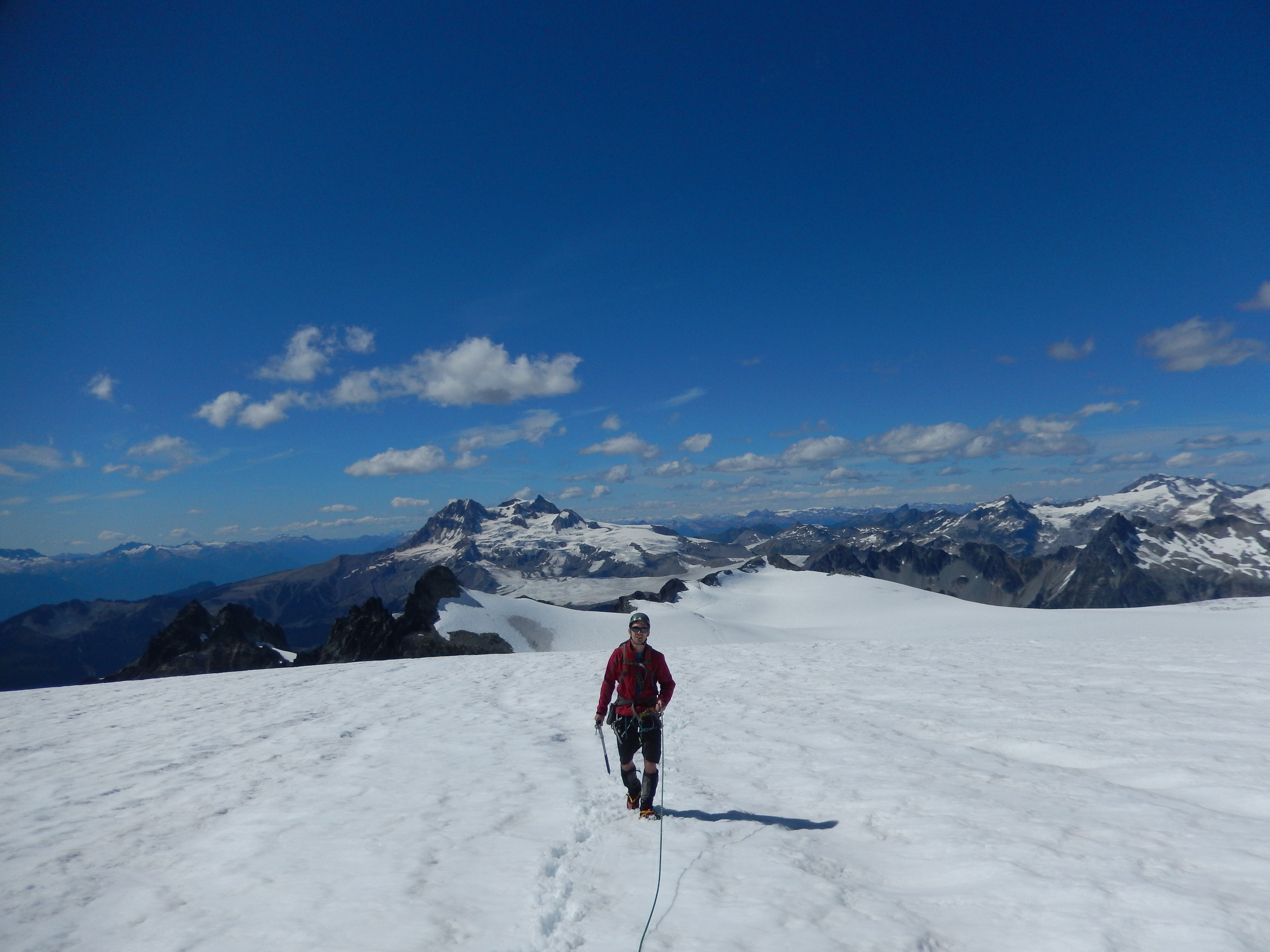

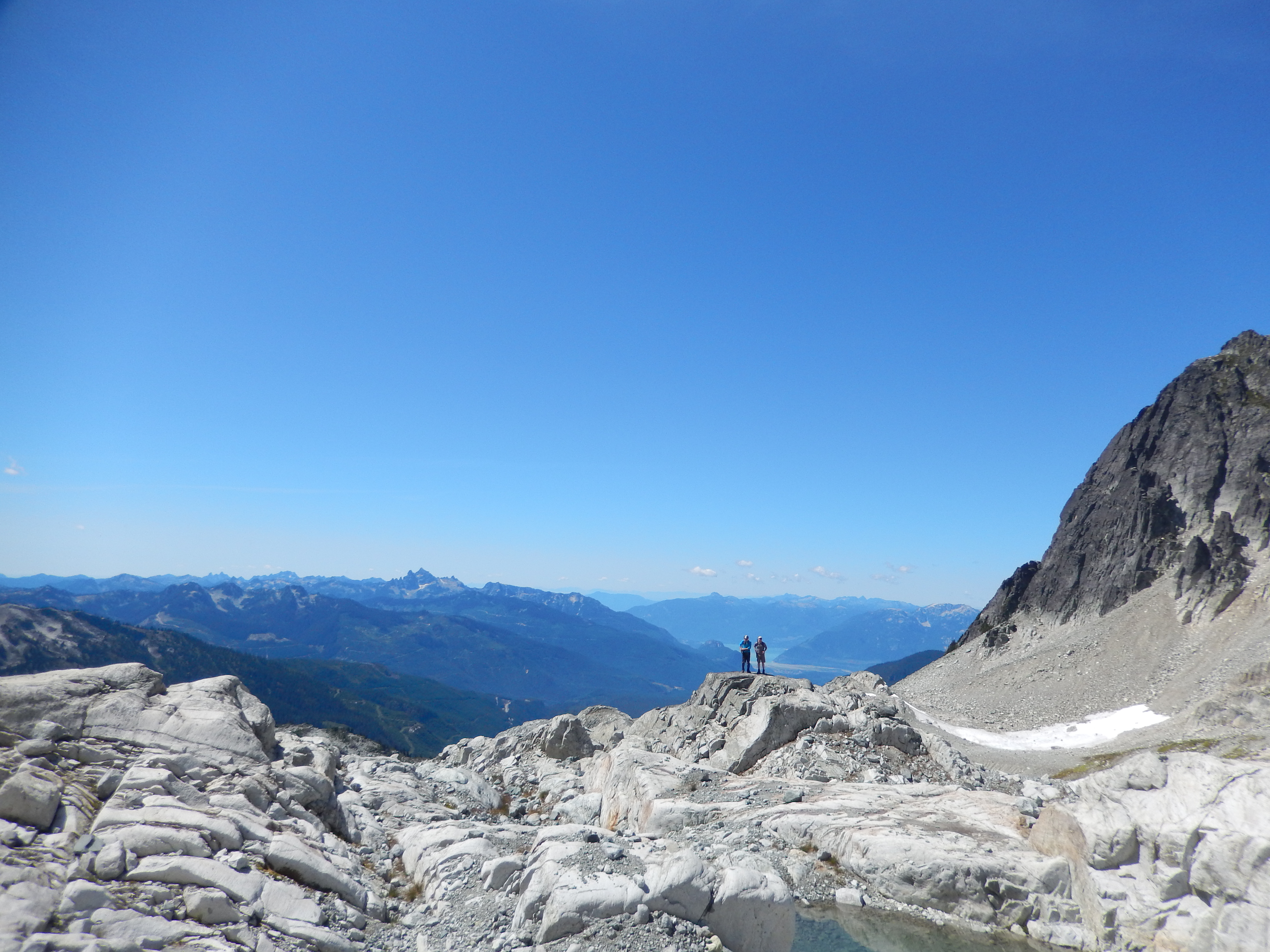
We scrambled the exposed NW ridge to the summit of Delusion and were treated to amazing views. After lounging on the summit for some time we decided to take a new route back and headed SW from below the peak towards the flat glacier above Darling Lake. This is now the standard summer route from Darling Lake.


From Darling Lake we retraced our steps, finding the flagging easily, but slowing down with exhaustion. The light was fading by the time we crossed the creek and the headlamps were needed to navigate the maze of alder roads back to the truck. By the time we got back, we had been on the go for 16 hours – a great day in the mountains!
